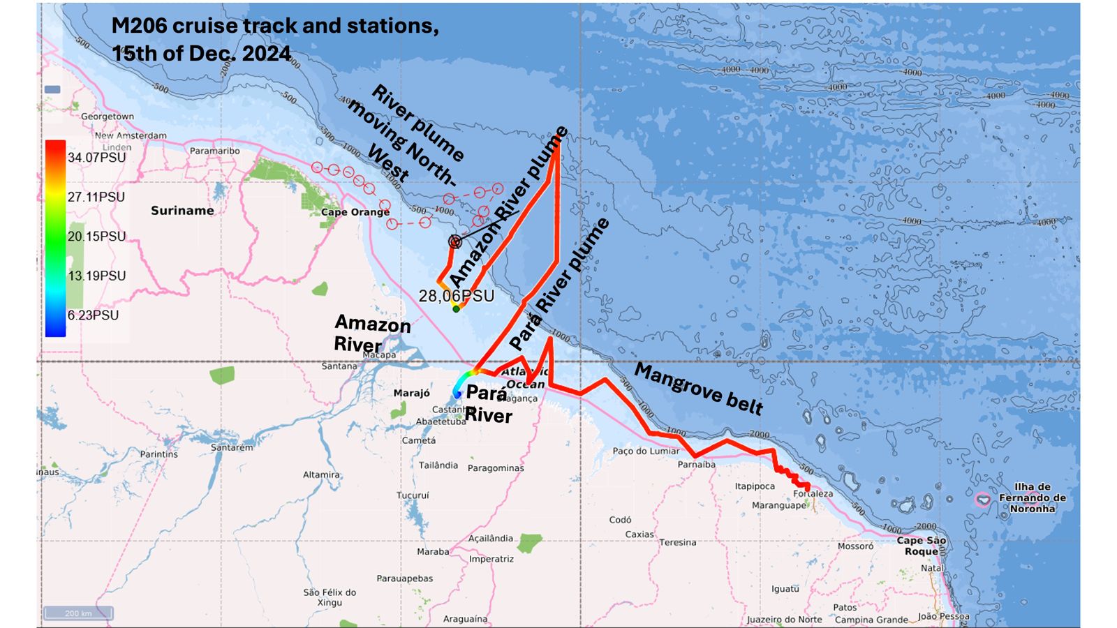
at the mouth of the Amazon
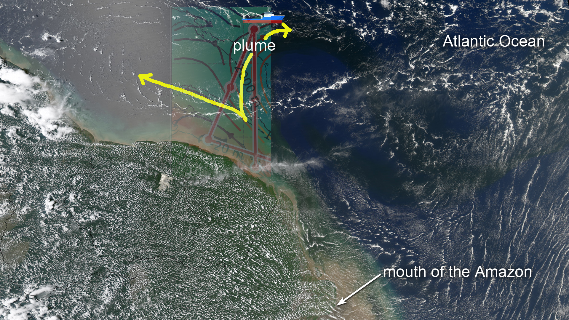
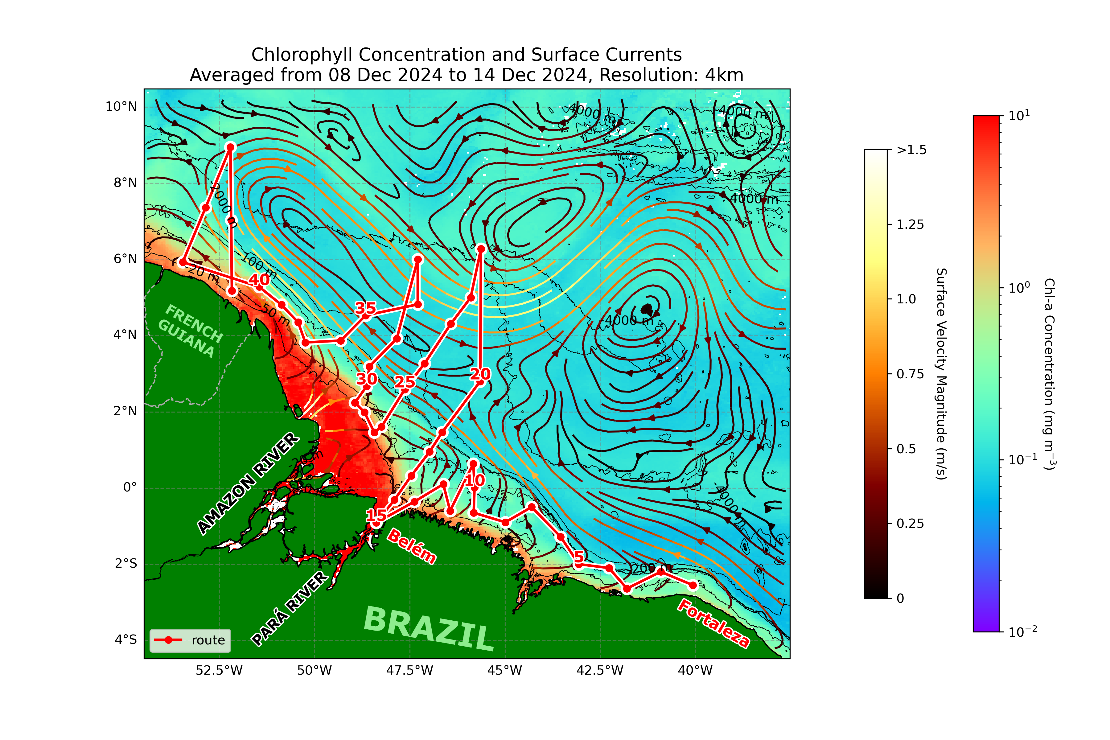
Today we have been moving NE towards a station within the detached plume area, as indicated by the satellite image showing chlorophyll concentrations (left). From this, it can be seen that while the main part of the Amazon plume moves NW towards the Caribbean, another section splits off to move further E. For those who like to see images in “real” colours, the same phenomenon is also visible in the older (2012) satellite image from NASA (above). Chlorophyll is a good indicator of the plume, because the nutrients in the Amazon water allow microscopic, surface-dwelling ocean phytoplankton to feed and grow, and chlorophyll is the energy-producing pigment that gives plants their colour.
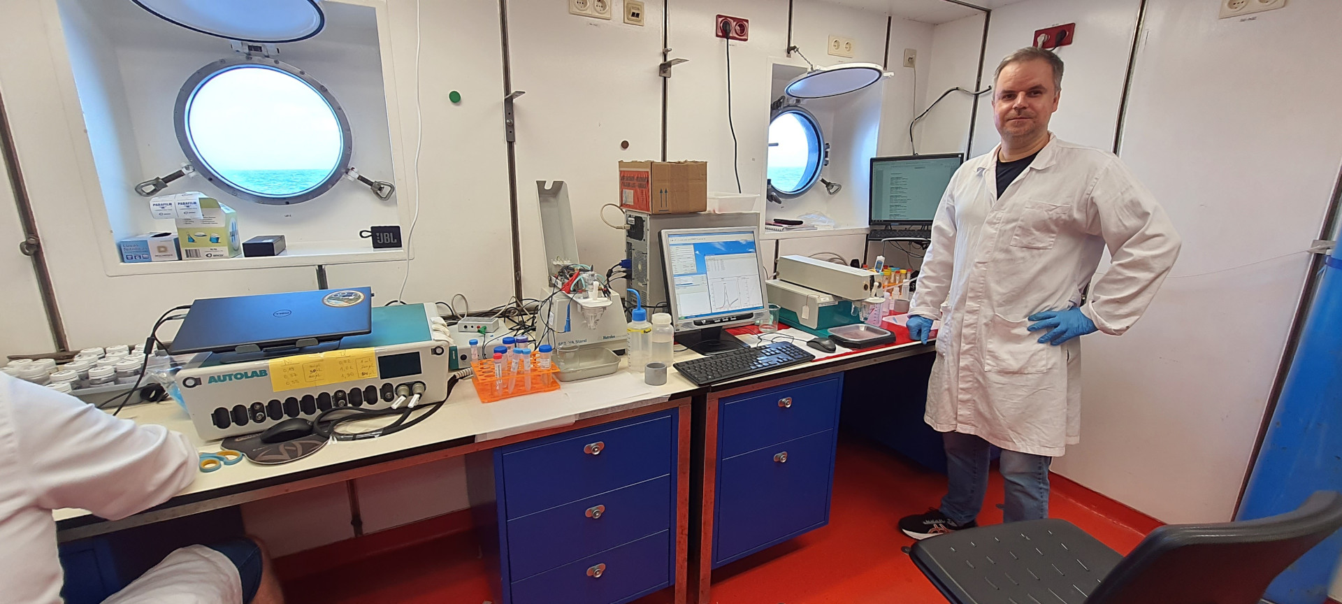
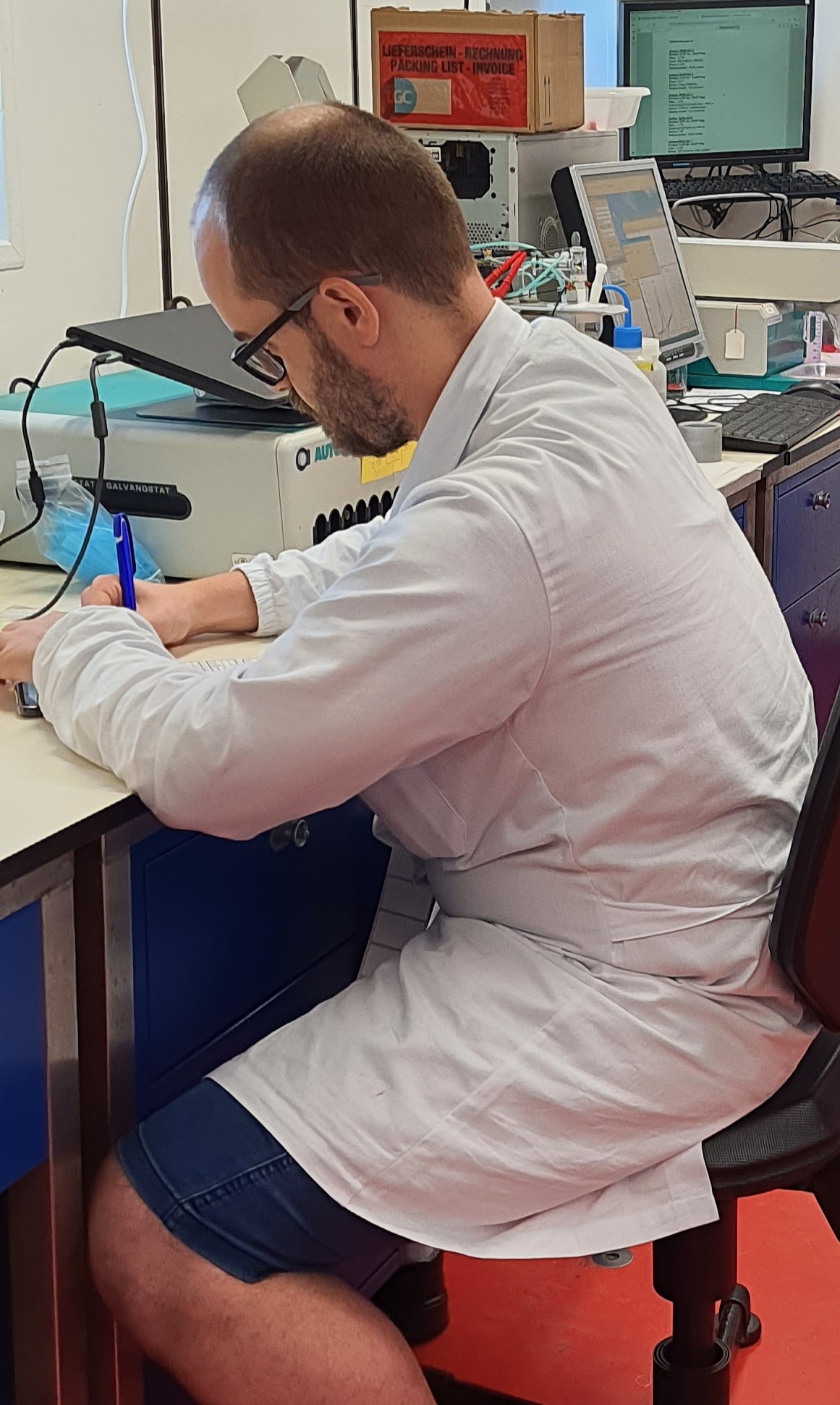
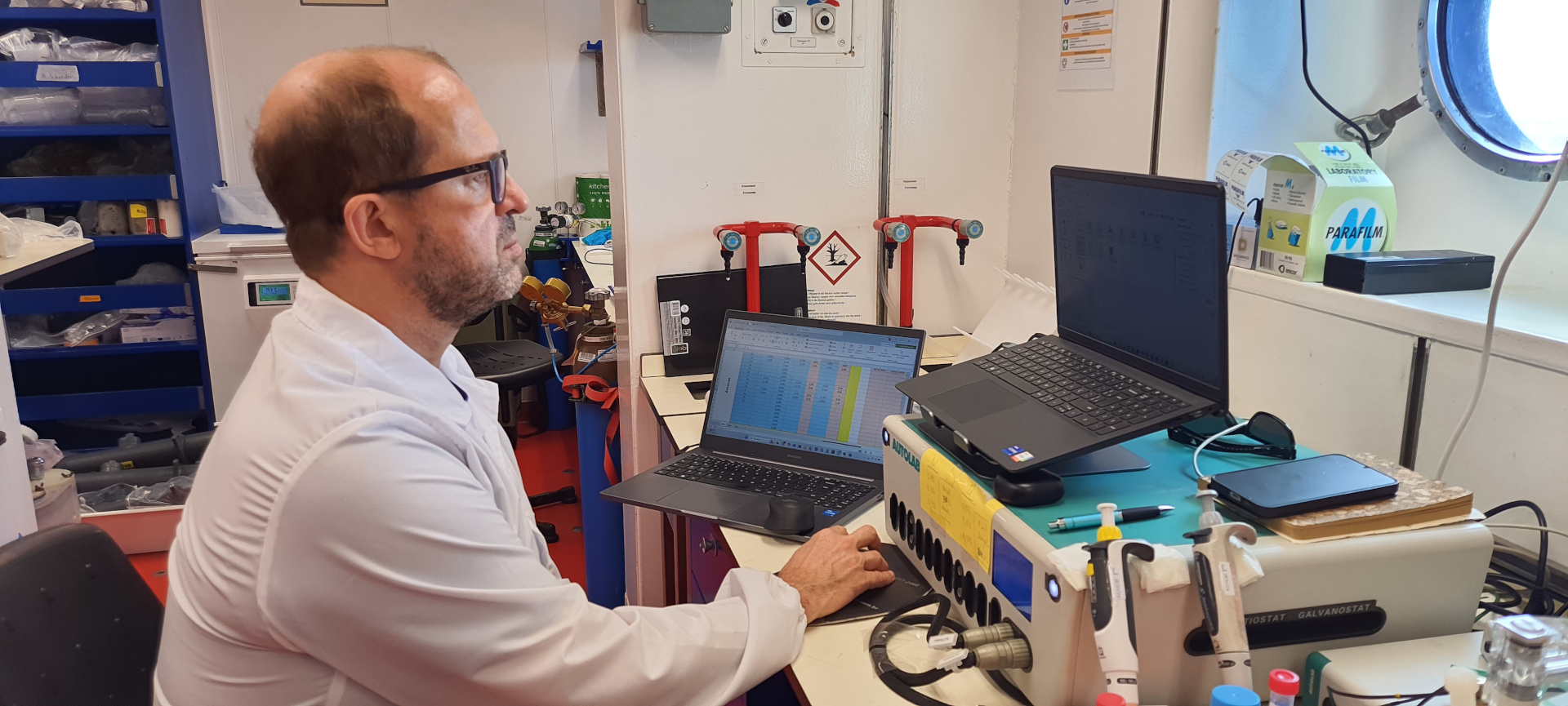
Of course the motion of the ship also takes its toll on some of the scientists on board, and sometimes we see a relatively empty canteen in the morning at breakfast time (although this is more often simply because some of the team have been up half the night working the equipment or taking water samples). At least it didn’t rain on us much today, so we can be thankful for this.
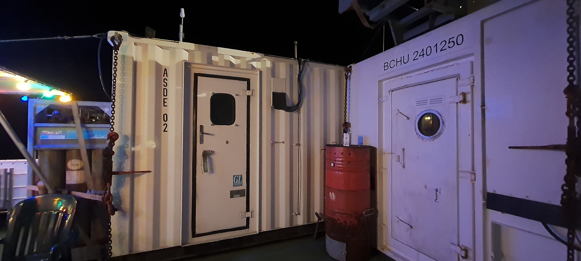
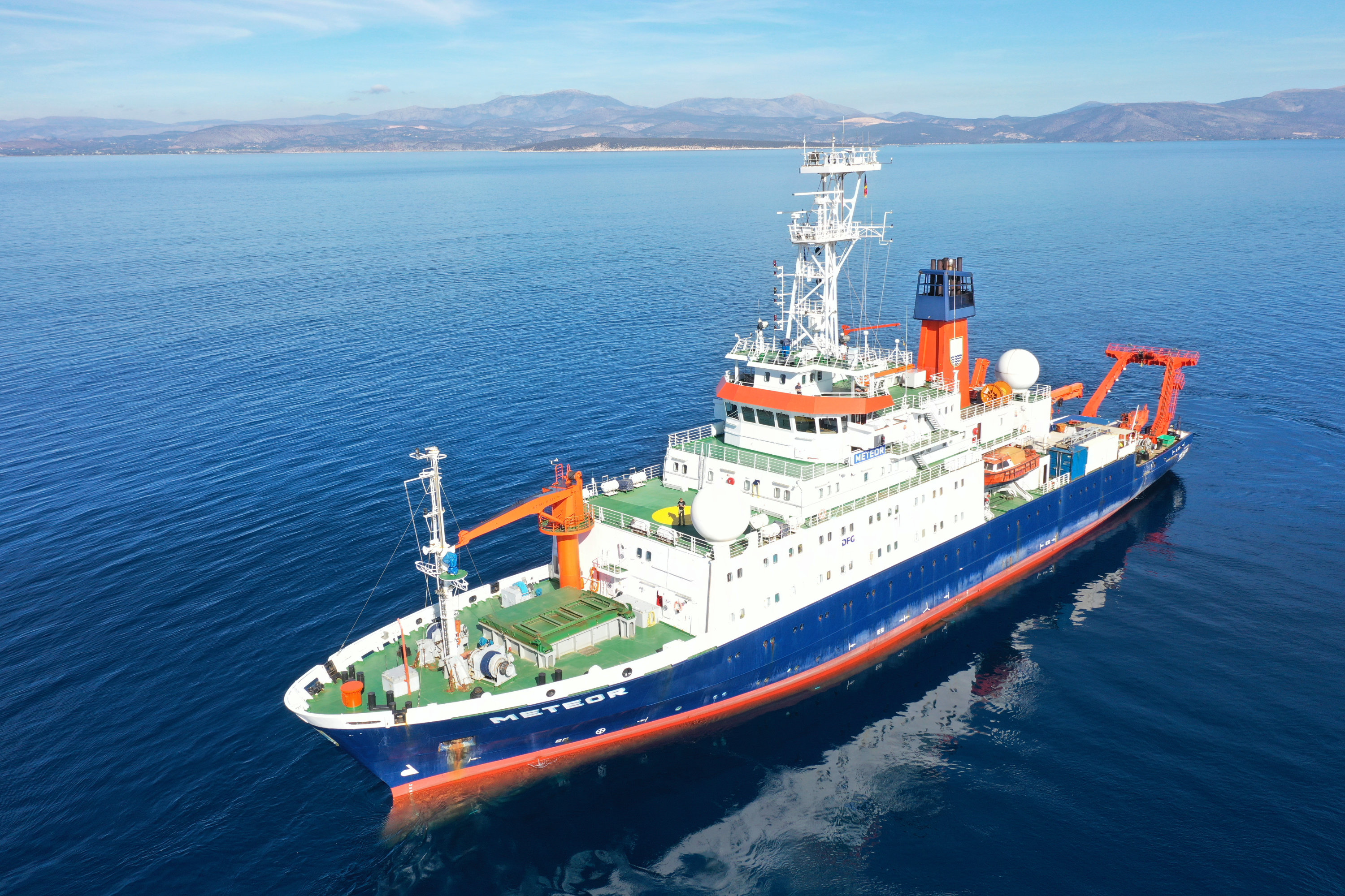
The weather has not been very kind to us today, and this has made the deployment and retrieval of of some of our sampling equipment trickier than usual. Strong, variable currents in the water column, coupled with wave action and surface wind, mean that the ship’s sophisticated dynamic positioning systems (and crew) have to work harder to maintain the ship in position over a piece of equipment that is suspended on a steel cable over 2km under the ship. It is interesting (at least to me) to hear the noise of the thruster working downstairs near the front of the vessel while the equipment is being let down or taken up.
So, our immediate goal today and tomorrow is, at least in part, to see if our sampling on this SW-NE transect evidences the presence of the east-moving plume, and our final sampling point on the line is calculated to be within it.
Don’t forget to check the Young Learner Page for additional posts.